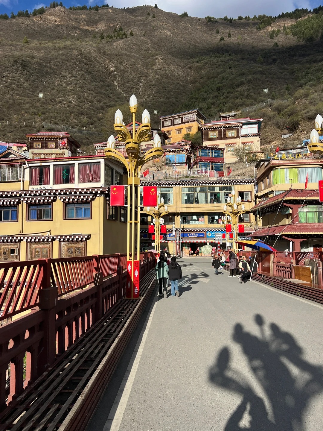
Xinlong County
Xinlong County sits just off the main western Sichuan route, but most people drive right past it on the way to Daocheng or Litang. That’s partly why it still feels quiet. Roads are less busy, viewpoints aren’t marked, and you don’t see many tour groups stopping for photos. It’s not a polished destination, and honestly, that’s the point. If you’re interested in other alpine lakes with more defined routes and famous colors, you might also want to compare it with Jiuzhaigou’s Five-Color Lake.
The scenery is there—lakes, monasteries, wide grassland—but you won’t get signboards telling you where to look. You stop when something feels right, not because it’s on a list. Based on a recent trip through Xinlong County, here’s how to plan it without wasting time or missing the parts that actually matter.
Best Things to Do in Xinlong County
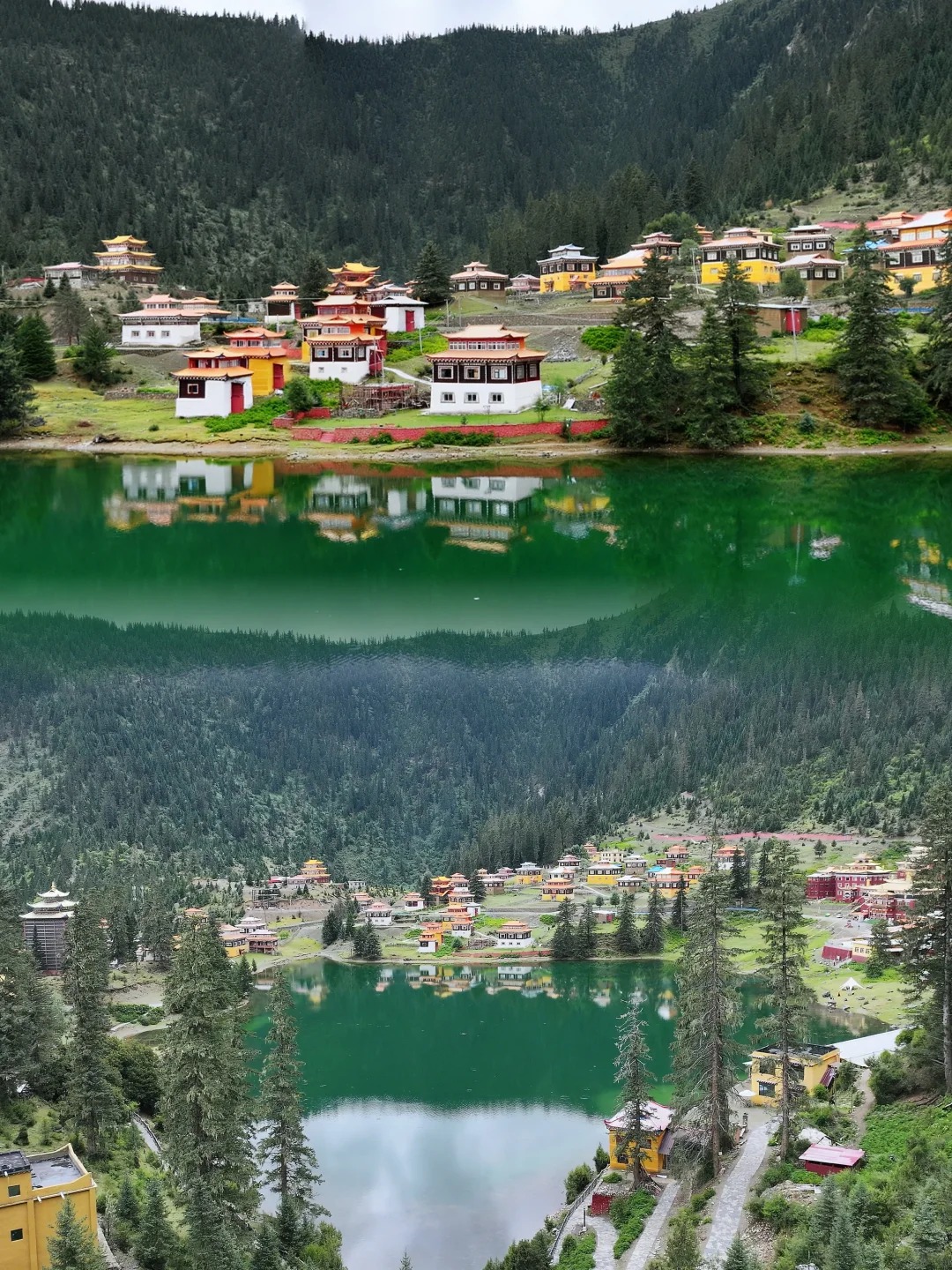
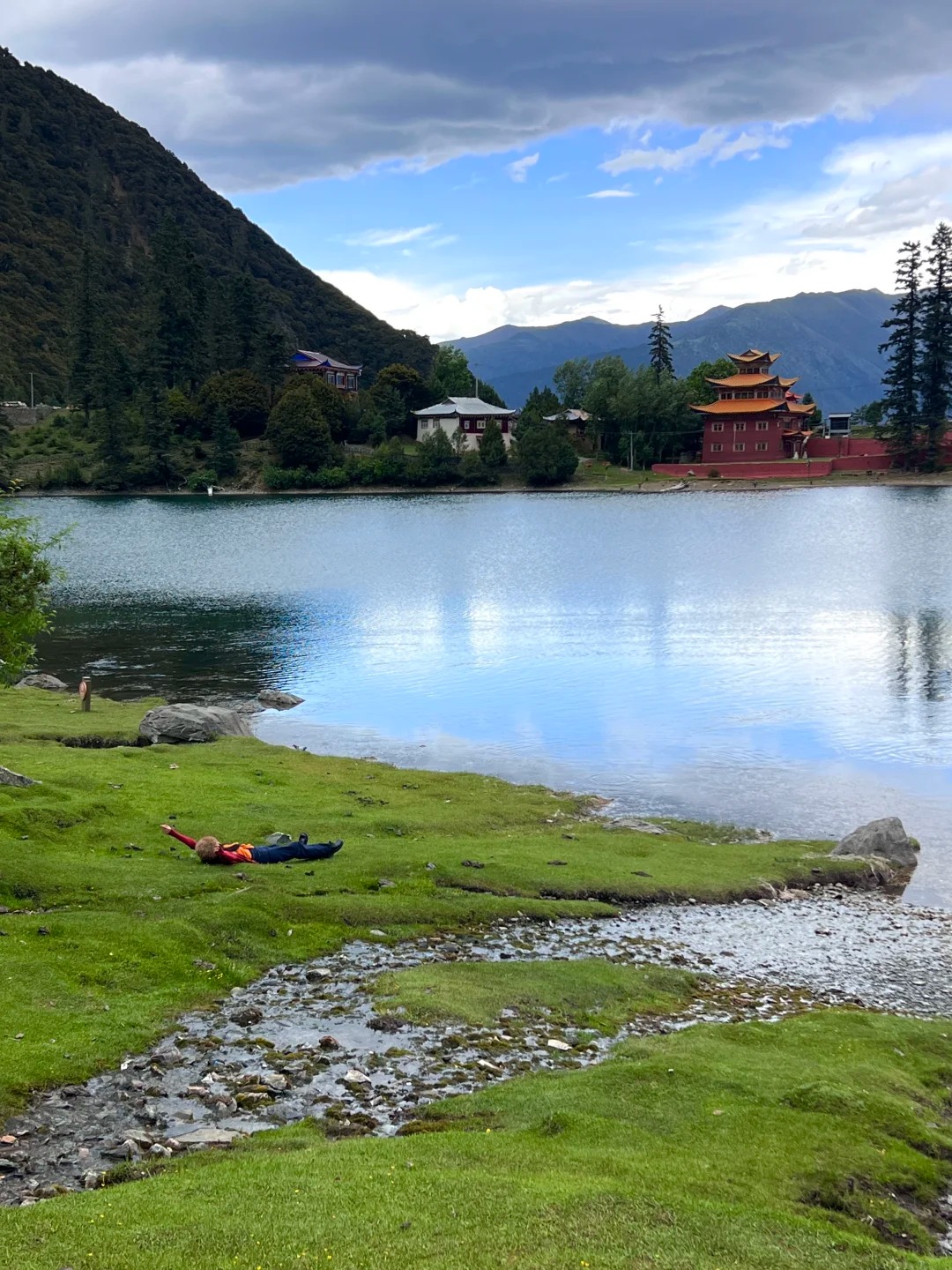
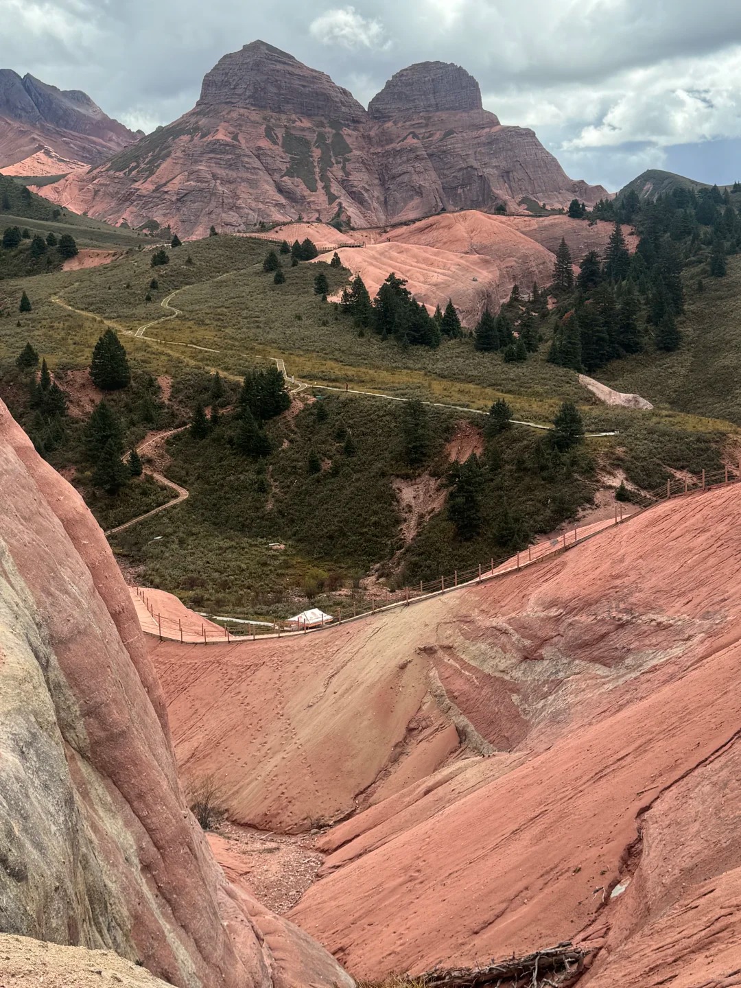
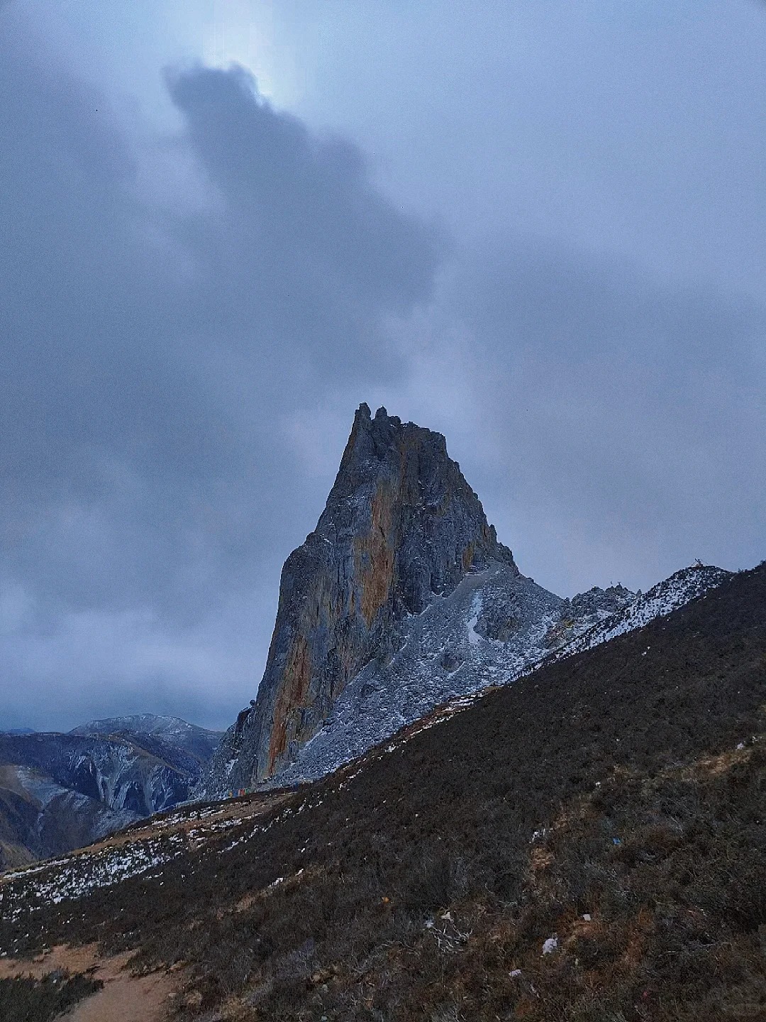
Yilhun Lhatso Lake

Yilhun Lhatso Lake
Yilhun Lhatso is one of those places in Xinlong County that doesn’t feel staged at all. There’s no entrance gate, no marked viewpoint, and honestly, the first time you see it, it feels a bit unreal—just a wide, cold lake sitting quietly at high altitude. The color shifts depending on the light, sometimes bright turquoise, sometimes muted gray-blue when clouds move in. I remember stepping out of the car and immediately noticing the wind—it wasn’t strong at first, but within ten minutes it picked up enough to make staying still uncomfortable. That’s something people often underestimate here.
- Location: around 1–1.5 hours’ drive from Xinlong County town, final stretch on a narrower mountain road with few signs
- Entrance fee: no official ticket, usually free access, no staff or checkpoint on-site
- Altitude: roughly 4,000–4,200 meters, short walks already feel tiring if you haven’t acclimatized
- Best time for photos:
- Morning: still water, better reflections, clearer colors
- Afternoon: softer light but stronger wind, reflections often disappear
Compared to Daocheng, the biggest difference is the lack of structure. No boardwalks, no crowd control, no fixed photo spots. You stop where you want, but that also means you need to figure things out yourself.
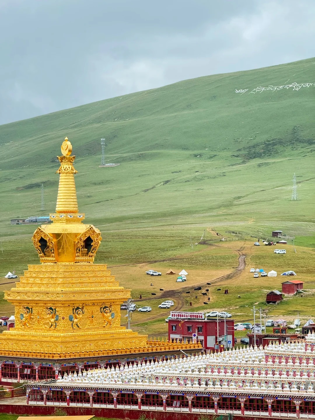
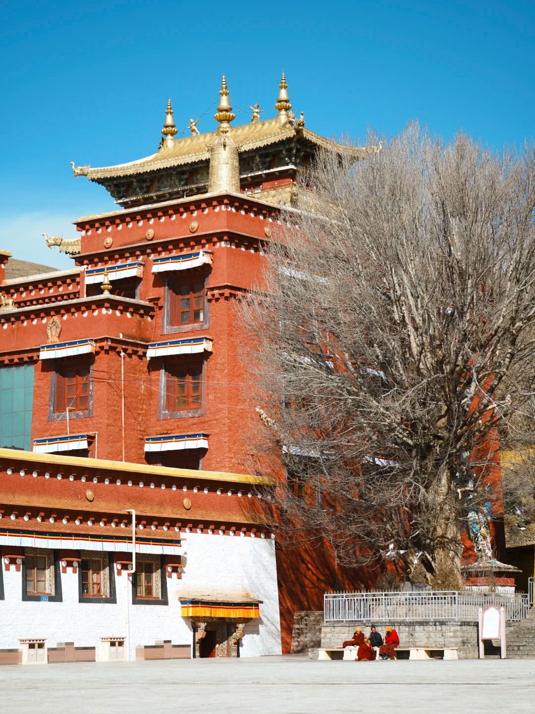
Xinlong Monastery
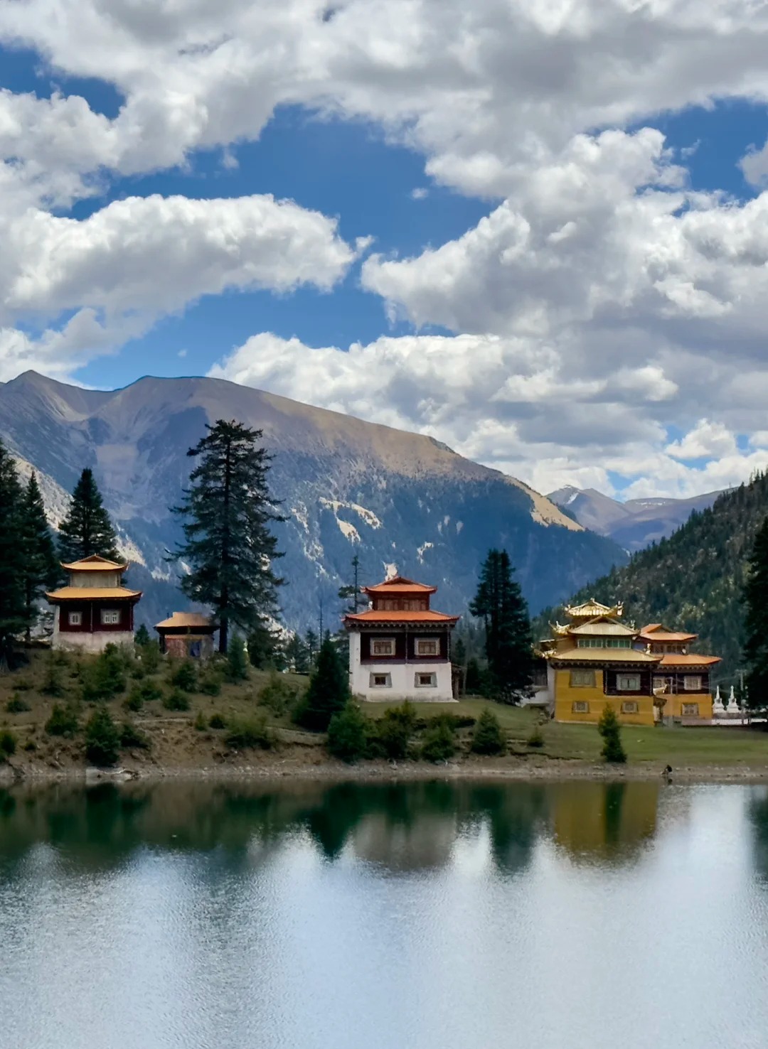
Xinlong Monastery
Xinlong Monastery doesn’t try to impress in the way larger Tibetan sites do. It’s smaller, quieter, and feels more like a working place than a destination built for visitors. In Xinlong County, this kind of atmosphere stands out because it hasn’t been adjusted much for tourism.
You don’t really “tour” the monastery in a structured way. Instead, you walk around slowly, notice small details—prayer flags moving constantly in the wind, locals circling the complex, low chanting coming from inside the halls. It’s not dramatic, but it stays with you longer than expected.
- Location: near Xinlong County town, accessible by a short drive or even walking depending on where you stay
- Entrance fee: usually free or donation-based, no strict ticket system
- Altitude: around 3,400–3,600 meters, relatively easier compared to higher spots in the region
- Best time for photos:
- Morning: more local activity, softer natural light
- Late afternoon: warmer tones on buildings, fewer people around
Compared with Larung Gar, this place feels less crowded and less controlled. There are fewer restrictions, but also less guidance, so you need to be a bit more aware of etiquette—especially around photography.
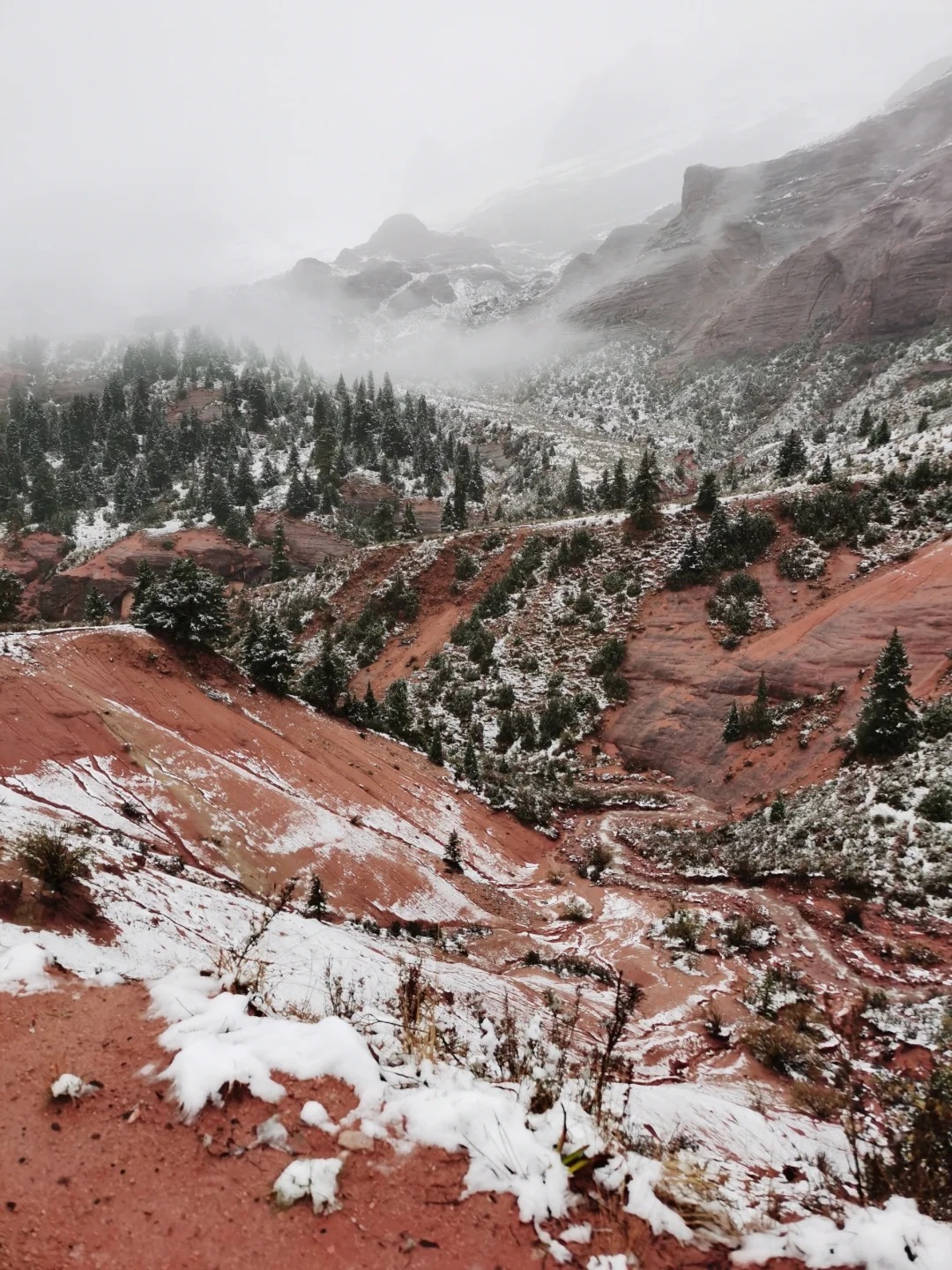
Cuoka Lake
Cuoka Lake
Cuoka Lake feels further away than it looks on a map. The drive takes longer than expected, mostly because road conditions change as you get closer. At some point, paved sections turn rough, and you start slowing down without really noticing why.
Once you arrive, though, the setting is different from Yilhun Lhatso. It feels more enclosed, with grassland edges and fewer open panoramic views. There are no built platforms or clear viewpoints, which makes it feel less “designed” and more like something you just happen to come across.
- Location: remote area outside main Xinlong County routes, requires a detour and some local navigation
- Entrance fee: generally free, no formal management or ticket booth
- Altitude: around 4,000 meters, similar to other alpine lakes in Xinlong County
- Best time for photos:
- Early morning: best chance for reflections, minimal wind
- Midday: stronger light but harsher contrast
This isn’t a quick stop. If you decide to go, you’re committing a few hours at least. That’s why fewer travelers include it when listing things to do in Xinlong County.
🏡 Rural Exploration: Beyond the hidden gems of Western Sichuan, you can discover more of the country's diverse rural beauty in our guide to 25 Beautiful Villages in China: Ancient Courtyards, Karst Peaks & Ethnic Life, which showcases the ultimate collection of China's most scenic escapes.
Grasslands Around Xinlong
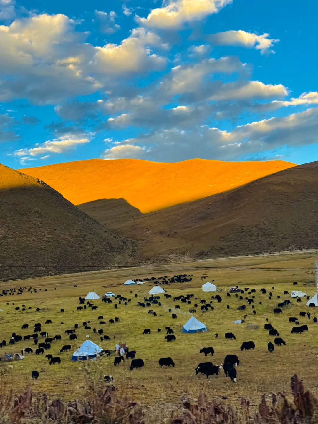
Grasslands Around Xinlong County
The grasslands are probably the easiest part of Xinlong County to experience, mostly because you don’t need to plan anything. They’re just there along the road, stretching out in long, open sections that don’t feel crowded or restricted.
Driving through, you’ll notice how often the landscape opens up without warning. One moment you’re on a narrow road, the next you’re looking at a wide field with yaks scattered across it. There’s no single “best spot,” which actually makes it easier—you stop wherever feels right.
- Location: spread across Xinlong County, especially along main driving routes between towns
- Entrance fee: completely free, no controlled access
- Altitude: typically 3,500–4,000 meters depending on the section
- Best time for photos:
- Summer: greener fields, stronger color contrast
- Late afternoon: softer light, longer shadows
Compared to Litang, these grasslands feel less visited. Fewer cars stop, and you rarely see organized tour groups. The only constant here is the wind—it builds up slowly, and if you stay too long without a jacket, you’ll notice it.
Geography and Climate of Xinlong County
Geography
Geography of Xinlong
Xinlong County sits in the western part of Garzê Tibetan Autonomous Prefecture, slightly off the main travel corridor that runs through Kangding and Litang. On paper, the distance doesn’t look far, but the terrain changes how you experience it. Roads wind through mountains and valleys, and you rarely get long straight sections. That alone makes the area feel more remote than it actually is.
The landscape is typical of the Kham Tibetan region—high-altitude plateaus mixed with alpine lakes, open grasslands, and scattered valleys. What stands out is the openness. Compared to other parts of Sichuan, there are fewer dense forests and fewer built-up areas. You see further, but there’s also less structure guiding where to stop or what to look at. This kind of geography is exactly why Xinlong County doesn’t feel crowded. It’s not hidden, but it’s not on the most convenient route either.
Climate
Weather of Xinlong
The climate in Xinlong County is defined more by altitude than by season alone. Temperatures can feel mild during the day, especially in summer, but drop quickly once the sun goes down. Even in warmer months, evenings feel noticeably cold if you’re not prepared. The air is dry, and sunlight is stronger than expected, which is something many first-time visitors underestimate.
Weather changes happen quickly here. A clear morning can shift into cloud cover or wind within a short time, especially in open grassland or near lakes. Wind is a constant factor, not always strong but persistent enough to affect how long you stay outdoors. Seasonal differences are still noticeable—late spring and early summer bring greener landscapes, while autumn tends to have clearer skies and better visibility. Winter, on the other hand, makes travel less predictable due to snow and icy roads, which is why fewer travelers visit during that time.
How to Plan Your Route to Xinlong County
-

- Kangding
-
- Litang
-

- Xinlong
A Simple 3 to 5 Day Route Including Xinlong
A trip to Xinlong County usually makes more sense as part of a longer western Sichuan loop rather than a standalone destination. Most travelers start from Chengdu and gradually move into higher altitude areas, adjusting slowly instead of rushing straight in.
A common route looks like this: Chengdu → Kangding → Litang → Xinlong County. The first section from Chengdu to Kangding takes about 4–5 hours, mostly on expressway until the mountains begin to close in. Kangding to Litang is longer, roughly 5–6 hours, and this is where the scenery starts to change noticeably—rivers narrow, valleys deepen, and altitude becomes more obvious. The final stretch from Litang to Xinlong County usually takes another 3–4 hours, depending on weather and road conditions.
The most visually interesting section is honestly the Kangding to Litang drive. That’s where you start seeing the real highland landscape without too many stops or built-up areas. Xinlong comes later in the route, and it feels more remote, less structured.
For first-time visitors, this route is doable but not effortless. It’s not extreme driving, but it does require attention. If someone is searching how to get to Xinlong County for the first time, this route is usually the most practical answer. I wouldn’t say it’s difficult, but it’s also not something to treat casually, especially if you’re not used to mountain roads.
Road Conditions and Driving Reality
Driving into Xinlong County is not complicated in a technical sense, but it’s not smooth either. The roads constantly shift between decent asphalt and narrower mountain sections where visibility drops and curves come one after another. You don’t really get long straight stretches once you leave the main highway.
An SUV is strongly recommended, not because the road is extreme, but because conditions change quickly. After rain, certain sections can get slippery, and in colder months, light snow or ice can appear without much warning. Smaller cars can handle it, but comfort drops fast on longer drives.
Weather plays a bigger role than people expect. A clear morning can turn into fog within an hour, especially near higher passes. That affects visibility more than speed, and you often find yourself slowing down even when the road looks fine.
From personal experience, the most tiring part isn’t any single difficult section—it’s the constant concentration. Long curves, changing elevation, and uneven pacing make you more fatigued than expected after a few hours. It’s the kind of drive where breaks matter more than speed.
For anyone planning how to get to Xinlong County, it’s better to assume slower travel times than map estimates suggest. That small adjustment usually makes the whole trip feel more manageable.
Can You Visit Without a Car
Technically, Xinlong County is reachable without driving, but in practice, options are limited. Public transportation exists, but schedules are irregular and connections between towns are not always convenient. You might find a bus from Chengdu toward western Sichuan hubs, but reaching Xinlong County itself often requires transfers and waiting times that are hard to predict.
This is where many travelers switch to alternatives. Shared rides are relatively common between major stops like Litang and nearby counties. They’re not officially organized everywhere, but hotels or small guesthouses often help arrange them. It’s not guaranteed, but it works often enough to be a realistic option.
Private car hire or small group tours are the most stable choice. They cost more, usually around ¥600–1000 per day depending on route and season, but they remove most uncertainty around timing and stops. For Xinlong specifically, this flexibility matters more than saving money.
So when people ask how to get to Xinlong County without a car, the honest answer is that it’s possible, but not very comfortable. Most visitors eventually choose either a shared ride or a private vehicle simply because the region doesn’t operate on fixed tourist schedules.
Travel Tips for Xinlong County
-

- Summer of Xinlong County
-
- Winter of Xinlong County
When to Visit
Xinlong County doesn’t follow a typical tourist season pattern. Weather shifts matter more than crowds, and road conditions often decide whether a trip feels smooth or tiring. Most people who travel through this area prefer the same two windows, simply because they reduce uncertainty.
- Best season:
- Late May to June: grasslands turn green, lakes show clearer color contrast
- October: stable weather, sharper visibility, less rain
During these months, driving conditions are usually more predictable. Light is also more stable for photography, especially around lakes and open grassland areas.
- Avoid:
- Winter months (December–February): snow, ice, and occasional road restrictions
- Early spring: unstable weather and muddy secondary roads in some sections
In practice, timing your visit is less about scenery alone and more about accessibility. This is one of the key xinlong county travel tips that most first-time visitors underestimate—conditions change faster than maps suggest.
Altitude and Health
Xinlong County sits at a consistently high elevation, and you feel it soon after leaving lower Sichuan areas like Kangding. The range across the region is roughly 3,300m to over 4,000m, depending on location. Even short walks can feel slightly heavier than expected.
- Altitude range:
- Town areas: ~3,300–3,600m
- Lakes and remote spots: ~3,800–4,200m
- Common reactions:
- Mild headache on the first day
- Slight fatigue when walking uphill
- Slower movement without realizing it
It’s not usually severe, but it is noticeable. Most travelers adjust within a day or two if they don’t rush activity.
- Simple adjustment tips:
- Slow walking pace on arrival
- Avoid heavy exercise on the first day
- Drink water regularly, even if not thirsty
This is another part of xinlong county travel tips that often gets ignored—people tend to focus on scenery, but altitude affects energy more than expected.
What to Pack
Packing for Xinlong County is less about style and more about practicality. Weather changes quickly, especially in open areas where wind has no barrier.
- Clothing:
- Windproof jacket: essential, even in summer evenings
- Layered clothing: temperature shifts during the day are common
- Lightweight warm layer: useful at higher altitude stops
- Sun protection:
- High SPF sunscreen: UV is stronger at altitude
- Sunglasses: glare from lakes and grassland is intense
- Hat: useful during long drives or open-area stops
- Health and essentials:
- Basic altitude medication (if sensitive)
- Pain relief tablets or personal medication
- Small snacks: long driving stretches often have no shops
A small detail many travelers mention is how quickly conditions change once you leave towns. You might start the morning in mild sun and end up in strong wind within an hour. That’s why preparation matters more than overpacking.
For anyone checking xinlong county travel tips, the key idea is simple: pack for unpredictability, not comfort alone.
Xinlong County vs Litang vs Daocheng
-
- Landscape of Xinlong
-
- Landscape of Litang
-
- Landscape of Daocheng
Which Place Has Better Scenery
The scenery across western Sichuan changes a lot depending on where you stop, and these three places don’t really compete in the same way. They just feel different when you’re actually there.
Daocheng is usually the most visually intense. The landscapes are more “complete” in a way—large viewpoints, clear lakes, and framed mountain views that feel designed for photography. It’s the kind of place where almost every stop already looks like a postcard.
Litang sits in the middle. The scenery is still strong, especially the grasslands and open valleys around town, but it feels more mixed with daily life. You see roads, buildings, and local movement alongside the landscape, which makes it less “pure” but more grounded.
Xinlong County is different. It doesn’t try to present perfect views. Lakes appear without framing, grasslands stretch without viewpoints, and many scenes feel unmarked. That’s why the keyword xinlong county vs litang often comes up—Xinlong feels less polished, but also less filtered.
Which One Feels Less Touristy
Tourism levels across these three places are very uneven, and you notice it quickly once you start moving between them.
Xinlong County is the quietest. In most areas, you don’t see structured viewing platforms or controlled sightseeing routes. You might stop somewhere beautiful and find no one else there. It doesn’t feel empty in a negative way, just unorganized compared to other destinations.
Litang is already more developed. You still get open landscapes, but tourism is becoming more visible. Guesthouses, tour vehicles, and popular stops are easier to find, especially near main routes.
Daocheng is the most visited of the three. During peak season, buses and groups are common, and popular viewpoints often have defined paths and queues. Even when the scenery is strong, the experience feels more managed.
Which One Is Easier to Travel
Travel convenience is where the differences become very clear, especially for first-time visitors.
Daocheng has the best infrastructure overall. Roads are more stable, accommodations are more organized, and tourist services are easier to find. It’s designed for visitors, so planning is relatively straightforward.
Litang is slightly less developed but still manageable. Roads are generally good, and there are enough hotels and transport options to support flexible travel.
Xinlong County is the least convenient. Roads are more variable, services are limited, and travel times are less predictable. That’s why xinlong county vs litang comparisons often mention logistics first rather than scenery. It’s not difficult to reach, but it does require more planning and patience, especially if you’re not driving.
FAQ about Xinlong County
Q: Is Xinlong County worth visiting compared to Daocheng?
Xinlong County feels very different from Daocheng, and whether it’s “worth it” depends on what kind of travel experience you want. Daocheng is more developed, with clear viewpoints, easier access, and stronger infrastructure for visitors. Xinlong County is quieter, less structured, and often requires more self-navigation. If you prefer convenience and well-marked scenic spots, Daocheng is a safer choice. But if you want fewer tourists and more open-ended landscapes without crowds, Xinlong County can feel more rewarding, especially for road trips through western Sichuan.
Q: How high is Xinlong County and will I get altitude sickness?
Xinlong County sits at a relatively high elevation, generally between 3,300 and 4,200 meters, depending on where you are. Town areas are lower, while lakes and grassland viewpoints are higher. Mild altitude symptoms like headache, fatigue, or slightly short breath are common for first-time visitors. Most people adapt within one or two days if they avoid heavy activity on arrival. It’s not usually severe, but it does affect energy levels more than expected, especially when walking or driving long distances in Xinlong County.
Q: What is the best time to visit Xinlong County?
The most stable travel periods are late May to June and October. In summer, grasslands are greener and lakes have better color contrast, while autumn offers clearer skies and more stable weather conditions. Winter is generally not recommended due to snow, ice, and occasional road limitations in higher sections. Spring can also be unpredictable with mixed road conditions. Choosing the right season matters more here than in typical destinations because Xinlong County travel conditions change quickly with weather.
Q: How do you get to Xinlong County from Chengdu?
The most common route starts from Chengdu and passes through Kangding and Litang before reaching Xinlong County. If you want to understand the starting point better before planning the road trip, it helps to look at Chengdu’s travel setup first. The full drive usually takes around 12–16 hours depending on stops and road conditions. There is no fast direct transport, so most travelers use private cars or shared rides. Public buses exist but involve long waiting times and transfers, making them less practical for flexible travel planning.
Q: Can you travel Xinlong County without a car?
It is possible, but not very convenient. Public transportation options are limited and schedules are not always reliable. Buses may connect major towns, but reaching specific lakes or grassland areas is difficult without additional transport. Some travelers rely on shared rides between nearby counties or arrange transport through guesthouses. However, flexibility is low, and timing often depends on availability. For most visitors, having a car or joining a private tour is the more practical option.
Q: How many days do you need in Xinlong County?
Most travelers spend 2 to 3 days in Xinlong County. This allows enough time to visit key lakes, explore nearby monasteries, and drive through surrounding grasslands without rushing. A shorter trip of 1 day feels too limited because travel distances between sites are long. Longer stays are possible if you want a slower pace or plan photography stops, but the infrastructure is basic, so extended stays are usually for more flexible road-trip travelers.
Q: Is Xinlong County safe for foreign travelers?
Xinlong County is generally safe for foreign travelers. The main concerns are not security-related but environmental and travel-related. Road conditions can change with weather, and altitude may affect physical comfort. Basic precautions like checking weather forecasts, driving carefully in mountain sections, and preparing for limited services are more important than safety risks. Locals are usually neutral or helpful, but English is limited, so communication may require simple translation tools.
Q: What makes Xinlong County different from Litang?
Compared with Litang, Xinlong County feels less developed and less structured for tourism. Litang has more visible infrastructure, clearer travel routes, and more visitor services. Xinlong is quieter, with fewer marked viewpoints and more open landscapes that require self-exploration. This is why the comparison xinlong county vs litang often comes up—Litang is easier to travel, while Xinlong feels more remote and less controlled.