What are the 2 Major Rivers in China
China's two major rivers are the Yangtze and the Yellow River. Both flow eastward across the country for thousands of kilometers, carving valleys that became cradles of ancient civilization. The Yangtze drains into the East China Sea near Shanghai, while the Yellow River empties into the Bohai Sea in Shandong. This article covers where each river runs, how long they are, why both are called China's "Mother Rivers," and what foreign visitors can do along each one.
Together these rivers span roughly 11,800 kilometers and pass through or border nearly every major region of China. They carry enormous volumes of water, shape agricultural heartlands, and remain central to China's identity, economy, and tourism.
Quick Facts
The Yangtze River
The Yangtze River is China's longest river at 6,397 kilometers. It ranks as the third-longest river in the world after the Nile and the Amazon. The river rises on the Tanggula Mountains of the Qinghai–Tibet Plateau and flows eastward roughly 6,300 kilometers to empty into the East China Sea near Shanghai.
- Source: Tanggula Mountains, Qinghai Province, Tibetan Plateau at approximately 5,000+ meters elevation
- Mouth: East China Sea delta near Shanghai
- Route: Passes through or borders Qinghai, Tibet, Sichuan, Yunnan, Chongqing, Hubei, Hunan, Jiangxi, Anhui, Jiangsu, and Shanghai
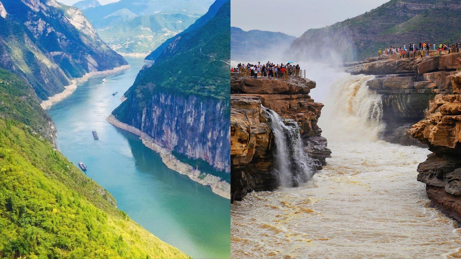
- Signature Stretch: The Three Gorges between Fengdu and Yichang is the most famous section, flanked by the Three Gorges Dam near Yichang
Where the Yangtze Begins and Ends
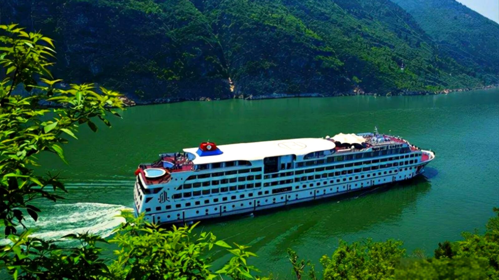
Yangtze River
The Yangtze originates as the Tuotuo River in the Tanggula Mountains of Qinghai Province, on the Tibetan Plateau at an elevation exceeding 5,000 meters. From there it flows east through mountain gorges, collecting water from hundreds of tributaries. The upper reaches above Yibin in Sichuan are called the Jinsha, or Gold Sand, River. Downstream of Yibin the river takes the name Chang Jiang, meaning Long River. The river ends in a broad delta at the East China Sea near Shanghai, one of the world's largest river mouths.
Length and Scale
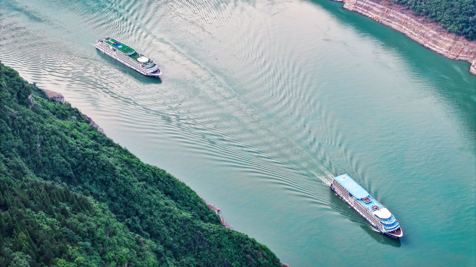
Yangtze River
At 6,397 kilometers, the Yangtze is the longest river entirely within one country and the longest in Asia. It ranks third globally. The river drains a basin of approximately 1.8 million square kilometers. Its average annual discharge reaches roughly 30,000 cubic meters per second, the largest volume of any river outside South America.
- World Rank: 3rd longest river globally (after Nile and Amazon)
- Basin Area: approximately 1.8 million km²
- Annual Discharge: roughly 30,000 m³/s on average
Cities and Provinces Along the Yangtze
The Yangtze flows through or forms the border of eleven provinces and direct-administered municipalities. From source to mouth the major centers are Panzhihua and Yibin in Sichuan, Chongqing municipality, Yichang in Hubei, Wuhan in Hubei, Jiujiang in Jiangxi, Nanjing in Jiangsu, and Shanghai at the delta.
- Upstream: Panzhihua, Yibin
- Mid-Stream: Chongqing, Yichang, Wuhan
- Downstream: Nanjing, Shanghai
- Landmark: Three Gorges Dam near Yichang, the world's largest hydroelectric power station
🚢 Plan Your River Journey: To explore the dramatic gorges, ancient cliff towns, and famous cruise routes along China's longest waterway, check out our complete travel guide to the Yangtze River.
The Yellow River
The Yellow River is China's second-longest river at 5,464 kilometers, ranking fifth or sixth in the world depending on the source consulted. It rises in the Bayan Har Mountains of Qinghai Province on the Tibetan Plateau, carves north through the Loess Plateau, then bends eastward to empty into the Bohai Sea in Shandong Province. The river is honored alongside the Yangtze as a "Mother River" of China.
- Source: Bayan Har Mountains, Qinghai Province, Tibetan Plateau
- Mouth: Bohai Sea near Dongying, Shandong Province
- Color: Yellow sediment from the Loess Plateau gives the water its characteristic hue
- Signature Landmark: Hukou Waterfall on the Shaanxi–Shanxi border
Where the Yellow River Begins and Ends
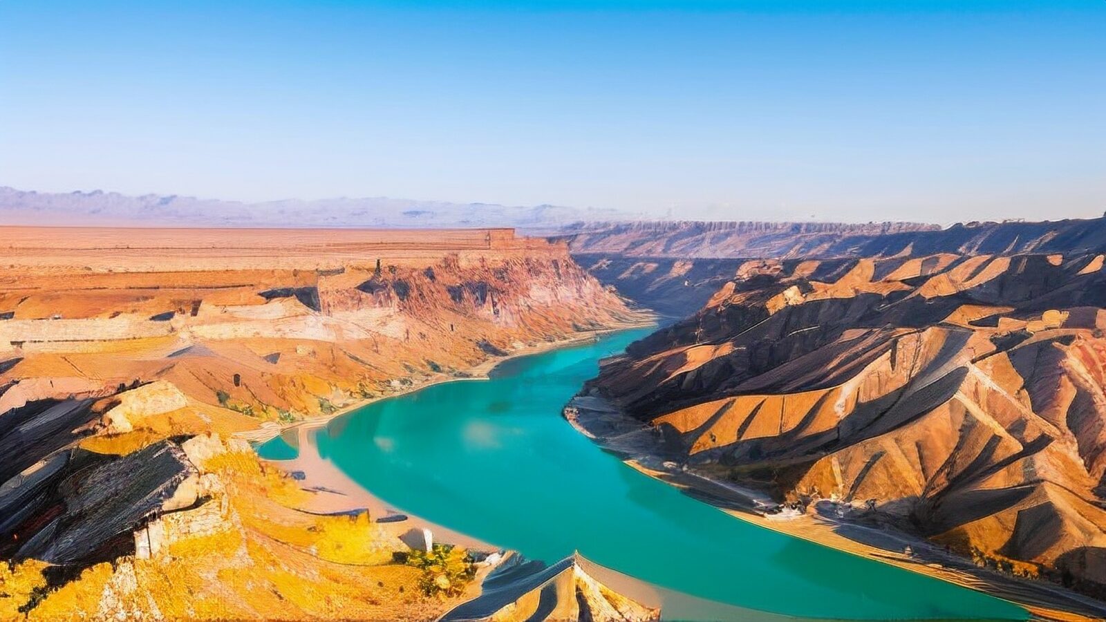
Yellow River
The Yellow River rises in the Bayan Har Mountains of western Qinghai, on the northeastern edge of the Tibetan Plateau. From there it flows east and then north into Inner Mongolia, where it makes a sweeping arc called the Ordos Loop. After bending south to form the border between Shaanxi and Shanxi provinces, it turns east again and flows through Henan and Shandong before reaching the Bohai Sea near Dongying.
Length and the Loess Plateau
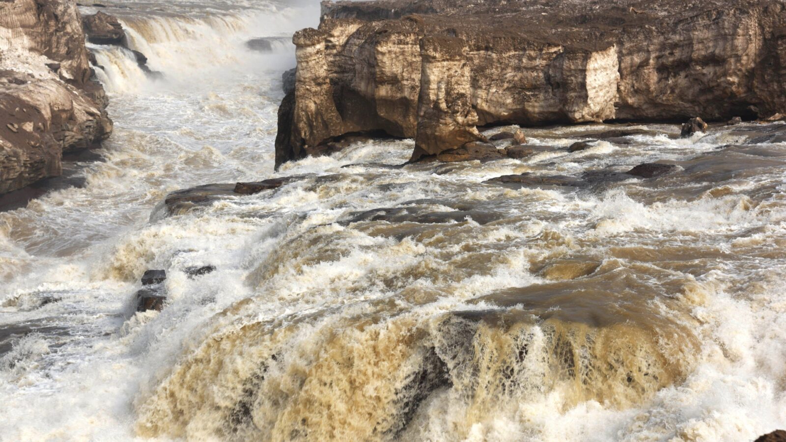
Yellow River
The Yellow River stretches 5,464 kilometers, making it the second-longest river in China and the fifth or sixth longest in the world. The river's defining feature is the Loess Plateau, a vast area of fine wind-blown sediment in northern China. As the Yellow River cuts through this plateau, it picks up enormous quantities of yellow silt, giving the water its name. The river carries roughly 1.6 billion tonnes of silt per year historically, one of the highest loads of any major river globally.
- World Rank: 5th or 6th longest (sources differ)
- Silt Load: approximately 1.6 billion tonnes per year historically
- Color Source: Fine yellow sediment from the Loess Plateau
Provinces and Cities Along the Yellow River
The Yellow River flows through nine provinces. From its source in Qinghai it passes through or forms borders with Sichuan, Gansu, Ningxia, Inner Mongolia, Shaanxi, Shanxi, Henan, and Shandong. Major cities along its course include Lanzhou in Gansu, Yinchuan in Ningxia, Baotou in Inner Mongolia, Yan'an in Shaanxi, Zhengzhou in Henan, and Jinan in Shandong.
- Upper Course: Lanzhou, Yinchuan
- Mid-Stream: Baotou, Yan'an
- Lower Course: Zhengzhou, Luoyang, Jinan
- Landmark: Hukou Waterfall lies on the Shaanxi–Shanxi border
Why These Two Rivers Shaped China
Both rivers carry the title "Mother River" (母亲河) in Chinese culture. Their basins became the cradles of ancient Chinese agriculture, with the Yellow River basin producing millet and the Yangtze basin producing rice. These crops supported dense populations that gave rise to China's earliest dynastic capitals. Xi'an and Luoyang grew along the Yellow River; Nanjing, Wuhan, and Chongqing developed along the Yangtze.
- Agriculture: Both river basins hosted the rise of early Chinese farming—millet on the Yellow and rice on the Yangtze—supporting dense populations and dynastic civilization
- Transport: Before railways, both rivers served as major inland trade arteries; the Grand Canal links the two systems, channeling grain south and goods north
- Flood Memory: The Yellow River earned the name "China's Sorrow" for catastrophic floods and course changes, including the devastating 1931 and 1938 floods that shaped dynastic history
- Cultural Identity: Both rivers appear repeatedly in classical poetry, painting, and national symbolism; the "Mother River" phrase unites them in education and national identity
Other Major Rivers in China
Beyond the Yangtze and Yellow River, several other rivers hold regional importance. The Pearl River in the south drains into the South China Sea near Guangzhou. The Songhua River is called the "Mother River of the Northeast." The Heilongjiang (Amur) forms part of the China–Russia border.
🌃 Urban Evening Cruises: For a completely different river experience featuring illuminated modern skylines and historical waterfronts, read our visitor guide to the Guangzhou Pearl River Cruise.
🚣 Classic Southern River Scenery: Want to experience the iconic landscape featured on the 20-yuan banknote? Explore cruise itineraries and local transport tips in Li River Yangshuo.
🏞️ Discover Yunnan's Hidden Lake: Planning a peaceful day trip into Naxi mountain villages and pristine water landscapes? Learn how to reach this high-altitude haven in Wenhai Lake.
Visiting China's Two Major Rivers
The most popular way to experience the Yangtze is a cruise through the Three Gorges between Chongqing and Yichang. For the Yellow River, the highlight is Hukou Waterfall on the Shaanxi–Shanxi border. The best travel months for both rivers are April through May and September through November, when temperatures are moderate and rainfall is low.
- Yangtze Cruise: Standard 4-night or 5-night Chongqing–Yichang cruises through the Three Gorges cost $400–700 (¥2,800–5,000) per person in a standard cabin; luxury lines run $900–1,800 (¥6,400–12,800); day cruises from Yichang or Wuhan are available for $35–80 (¥250–560)
- Three Gorges Dam: The dam visitor area near Yichang is reachable by high-speed rail plus shuttle; entry costs $20–30 (¥140–215)
- Hukou Waterfall: Reachable by road from Xi'an (about 5 hours) or Yan'an (about 2 hours); scenic-area entry is $15–25 (¥108–180); seasonal boat tours to the base run $8–15 (¥60–108)
- Best Travel Window: April–May and September–November offer the most comfortable conditions and clearest views along both rivers
Frequently Asked Questions
Q: What are the two major rivers in China?
The two major rivers of China are the Yangtze River (Chang Jiang) and the Yellow River (Huang He). Both are traditionally called the "Mother Rivers" of China. The Yangtze is the longer of the two at 6,397 kilometers compared to the Yellow River's 5,464 kilometers.
Q: Which river is longer, the Yangtze or the Yellow River?
The Yangtze is longer at 6,397 kilometers versus the Yellow River at 5,464 kilometers. This makes the Yangtze roughly 930 kilometers longer. The Yangtze is also the longest river in Asia and the third-longest in the world.
Q: Why are the Yangtze and Yellow River called the Mother Rivers of China?
Both river basins hosted the rise of early Chinese agriculture and civilization. The Yellow River basin produced millet and ancient dynastic capitals such as Xi'an, while the Yangtze basin produced rice and grew cities like Nanjing and Wuhan. Both served as major transport arteries before railways. The phrase "Mother River" (母亲河) is applied to both in education and national symbolism.
Q: Where does the Yellow River get its yellow color?
The Yellow River's color comes from fine yellow sediment it picks up while cutting through the Loess Plateau in northern China. The river carries roughly 1.6 billion tonnes of silt per year, one of the highest loads of any major river in the world. This silt content gives the water its characteristic yellow hue.
Q: Are the Yangtze and Yellow River the same as Huang He and Chang Jiang?
Yes. Chang Jiang (长江) is the Chinese name for the Yangtze River, and Huang He (黄河) is the Chinese name for the Yellow River. The word "He" means "river" in Chinese, so "Yellow River" and "Yellow He" are the same name.
Q: What is the longest river in China?
The Yangtze River (Chang Jiang) is the longest river in China at 6,397 kilometers. The Yellow River is the second-longest at 5,464 kilometers. Both rank among the longest rivers in the world.
Q: Can visitors take a cruise on the Yangtze or Yellow River?
Yes. The Yangtze has well-developed cruise options, including 4 to 5-night ships traveling between Chongqing and Yichang through the Three Gorges, bookable on Trip.com or Klook. Cruises on the Yellow River are limited to small seasonal boats at Hukou Waterfall and short sections near Lanzhou.
Q: What other major rivers flow through China?
Major rivers include the Pearl River (Zhujiang) in the south, the Songhua River in the northeast, the Heilongjiang (Amur) on the Russia border, the Brahmaputra (Yarlung Zangbo) in Tibet, and the Li River near Guilin. The Grand Canal is the longest man-made waterway in the world, connecting the Yangtze and Yellow River basins.